

mapping project \ University of British Columbia \ 2013
advisor: Blair Satterfield
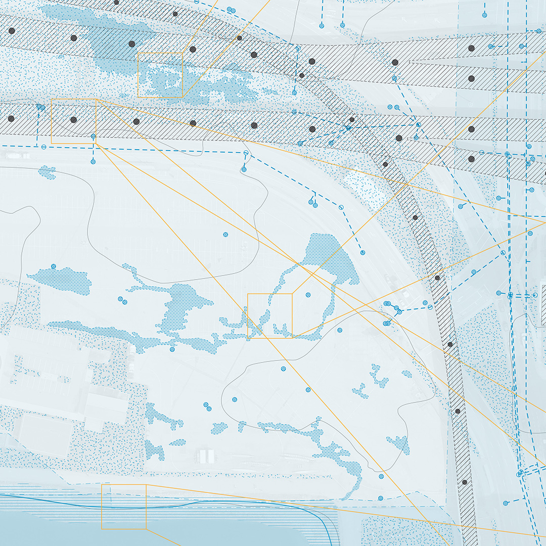
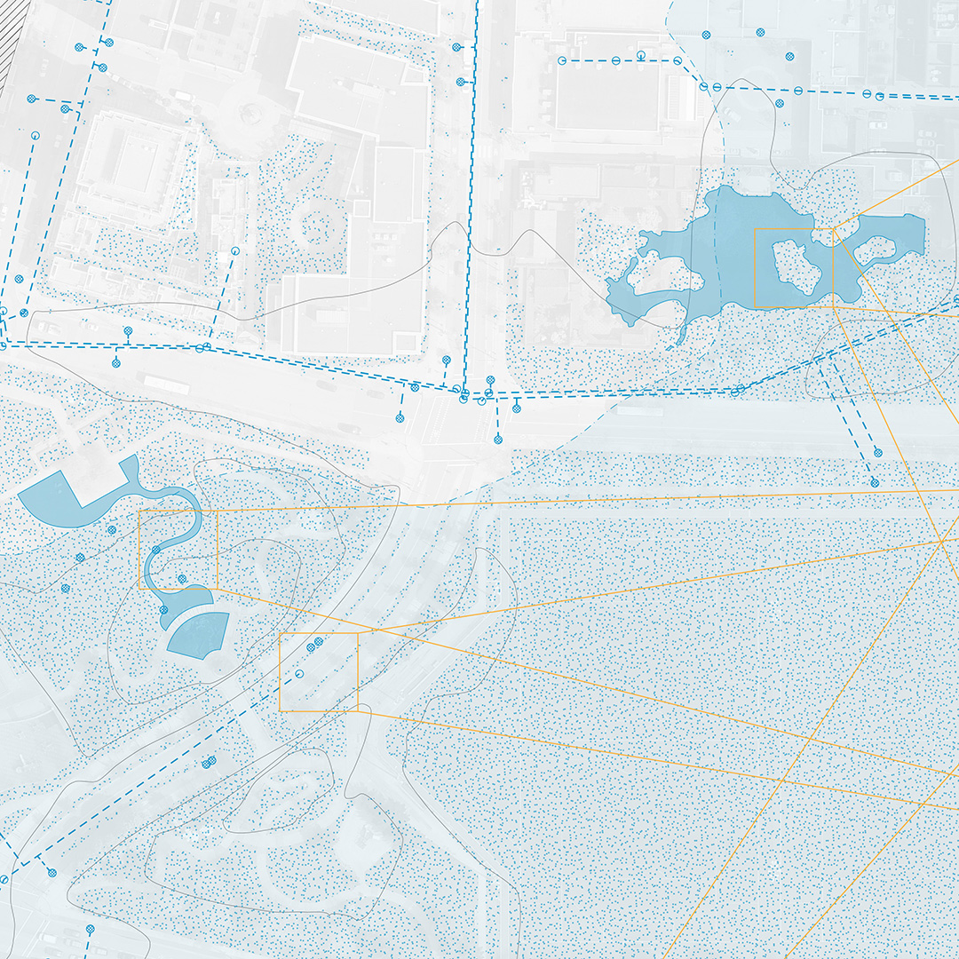
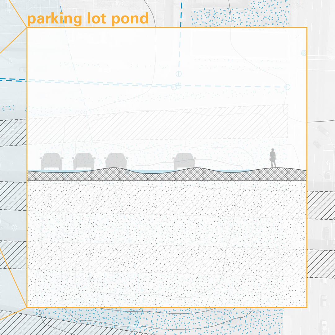
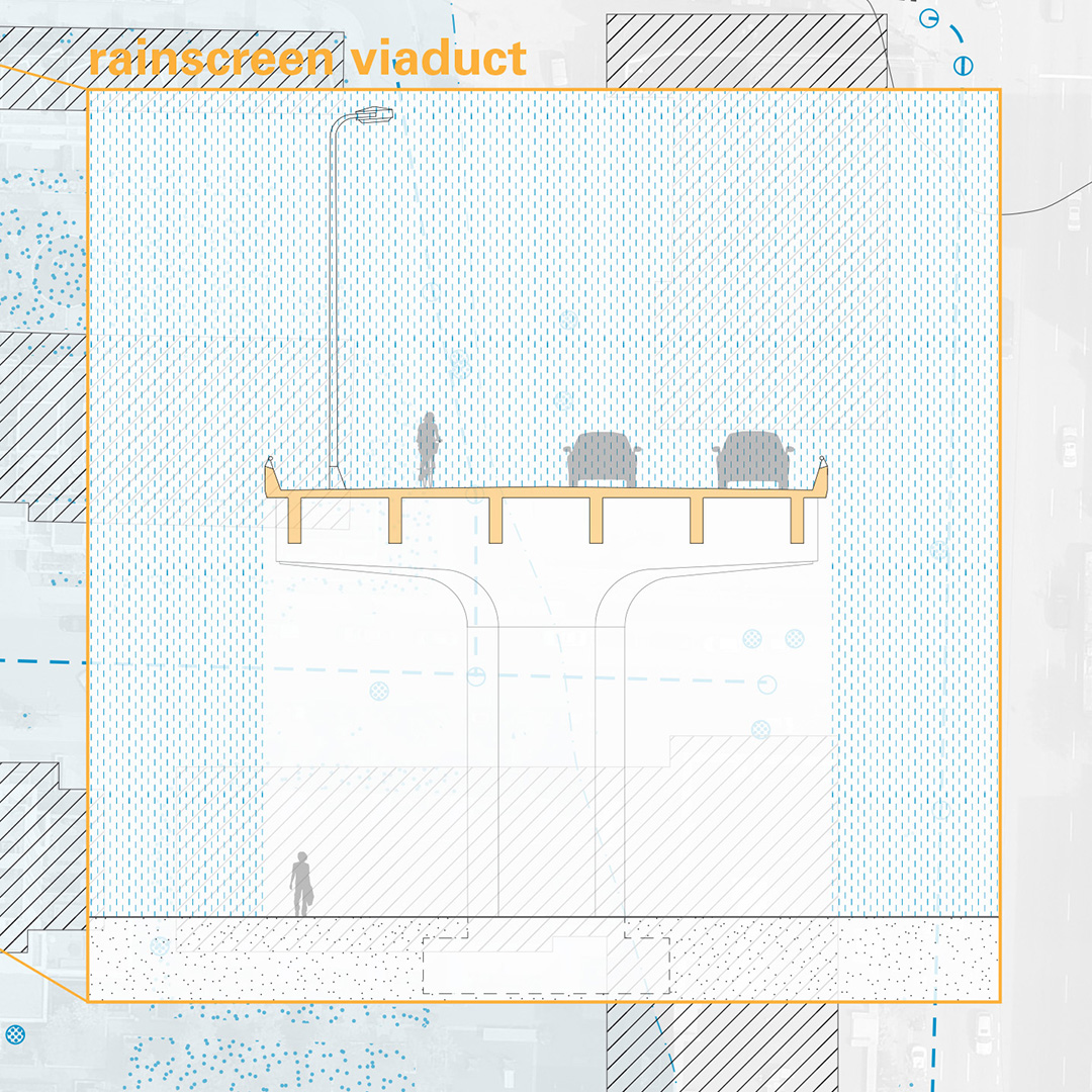
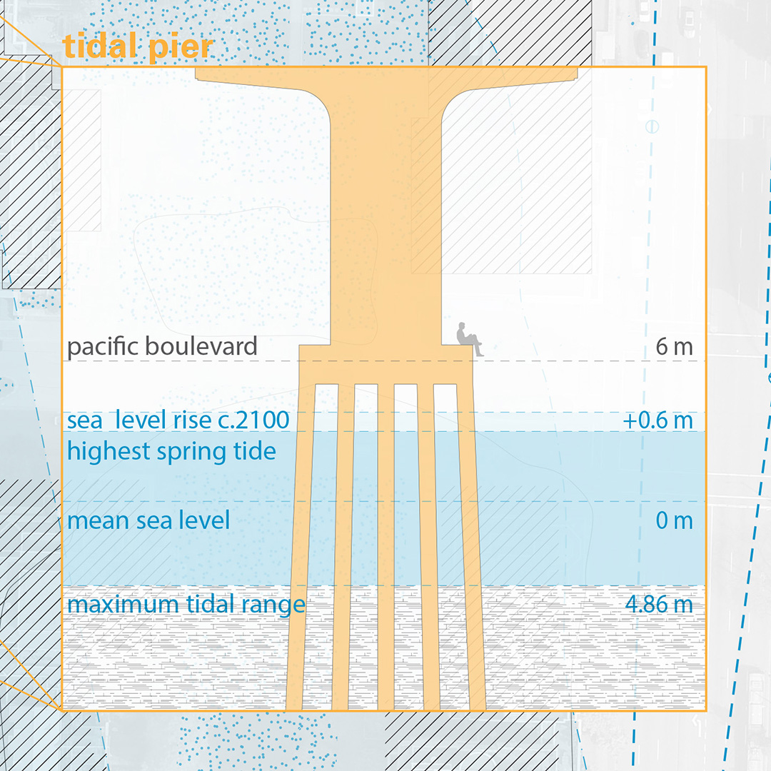
The smooth space of the sea and the striating forces of the city—following from the analogy outline by Gilles Deleuze and Félix Guattari in the book A Thousand Plateaus—have respectively characterized the natural and cultural history of Northeast False Creek. Originally a tidal mudflat that provided a portage between False Creek and Burrard Inlet, the area became the origin point for surveying Vancouver’s grid, Carrall Street being the city’s first street. Over the past 150 years the shoreline has been gradually pushed south and the land infilled. Overlaid on the invisible traces of past shorelines, False Boundaries / Stable Ground maps and represents the current shifting boundaries and stable conditions between water and land: tidal movement, temporary water bodies, porous ground surface, and the city’s sewer network.